
Boulder Rock
Total Distance: 4.8 miles With Longer Options
Boulder Rock was my first real hike in the Catskills–and my first hike in snow with snowshoes. Virginia is not fun in the winter. There usually is not enough snow to have fun in, and when there is, it’s usually too wet and freezing to enjoy. New York offers a whole new world of winter-time fun. I had never even seen a pair of snowshoes (except on TV) and had only worn them during a practice run outside our house. So this was an exciting and scary first winter hike for me, but definitely not my last. Unfortunately, my phone died, so I don’t have as many photos as I would like. Also, there are a ton of ways to get to Boulder Rock. We took the shortest route, and it can easily be extended. Being so close to North and South lake, it’s pretty highly populated (we even saw a few other people on this cold day) and there are a ton of other trail options nearby.
We parked in the lot on Scutt (or Schutt on our map) Road in the North Lake Area. The blue-blazed trail head is just across the street.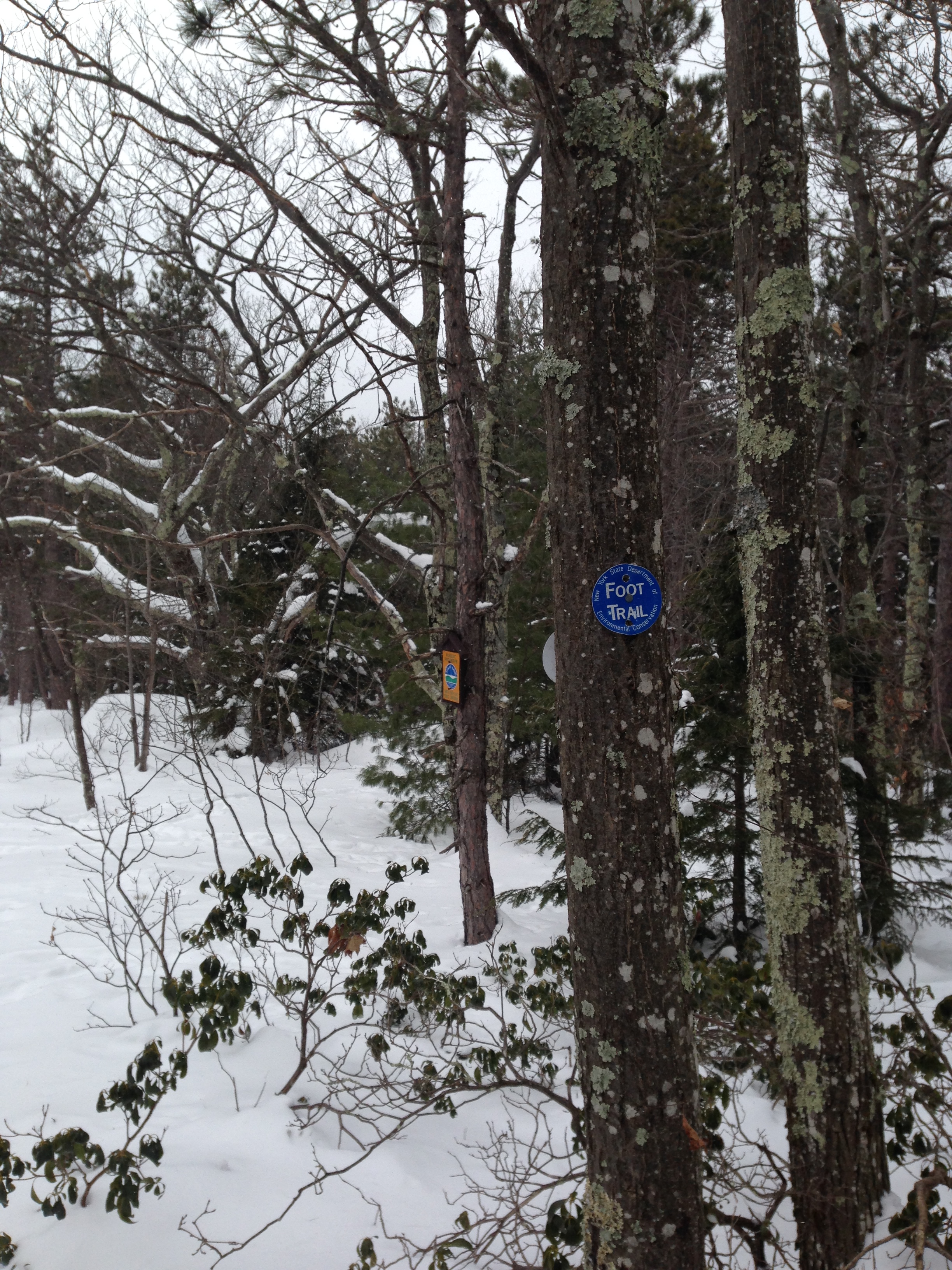 We stared hiking south through an awesome pine forest, which was made even more awesome by the foot of white snow. After .5 miles, we crossed a frozen stream and made it to an intersection.

We continued straight on the red-blazed trail for .25 miles before arriving at an intersection with a yellow-blazed trail. We continued on the red trail for .75 miles. We were going pretty steadily uphill this whole time. While it wasn’t steep, it was constant.

Then we arrived at the top of the mountain and an intersection with the blue-blazed trail, which we followed for .6 miles before arriving at a sign for Boulder Rock and the intersection with the red trail.

We stayed on blue for another .3 miles before finally making it to Boulder Rock.


We ate lunch and ventured back to the car. The hike took us a total of nearly 5 miles and 3 hours.
Print Me Out
– Park in the lot on Scutt (or Schutt on our map) Road in the North Lake Area and take the blue-blazed trail head is just across the street.
– In .5 miles, cross a frozen stream to an intersection. Stay on the red-blazed trail.
– In .25 miles, arrive at an intersection with a yellow-blazed trail, but continued on the red trail for another .75 miles.
– At the top of the mountain there’s an intersection. Turn onto the blue-blazed trail.
– In .6 miles, arrive at a sign for Boulder Rock and the intersection with the red trail.
– Stay on the blue-blazed trail for another .3 miles before finally making it to Boulder Rock.
– Retrace your steps back to the parking lot.

Pingback: North and South Lake Loop | Catskill Mountain Explorer